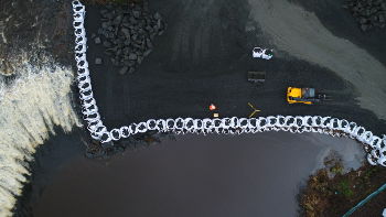
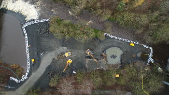
Based in central Scotland, econodrone is using the latest drone technology to help deliver valuable data about your project.
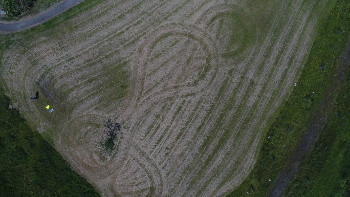
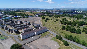
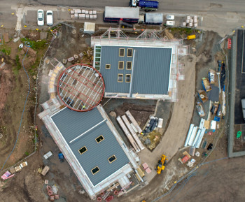
Dilapidation surveys, crop areas, aggregate stockpiles, timber stockpiles, as built surveys - nothing is too large or too high for econodrone.
Services

We offer a wide variety of services, including:
- Jobsite reporting
- Aerial surveying & mapping
- Aerial photography
- Roof inspections
- Building and tall structure inspections
If you think we can help, please get in touch.
Plan · Survey · Deliver
About

Econodrone has over 20 years experience in civil engineering surveying and can provide your project with cost effective inspection, mapping and photography services.
Econodrone has Permission for Commercial Operations from the Civil Aviation Authority, is fully insured and will provide risk assessments and method statements specific to your project.
Contact

Get in touch with econodrone at launch@econodrone.co.uk and find out more.